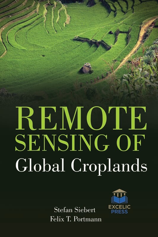
Worldwide, there is an increasing interest in and need to optimize agricultural management systems to enhance yields while minimizing environmental impacts. In an increasingly food insecure world, there is a critical need for us to have a comprehensive understanding of global croplands. Due to population increase, changes in the composition of the human diet and increasing demand for biofuels, it is necessary to increase global crop production in order to avoid a new era of malnutrition and hunger. So far, the discussion on how to achieve the required increase of crop production has been mainly restricted to the question of how many resources such as water, nutrients, energy, germplasm are needed, and whether an extension of the global cropland will be necessary or whether an increase of crop yields will be sufficient. In this work, we focus on analyzing cropland use intensity, another major determinant of total crop production.
This monograph highlights the linkages between croplands, their water use, and food security at the global level. The aim of this book is intended to explore the potential of remote sensing derived phenological metrics for assessing Spatio-temporal variability in cropping fields and to understand the soil-climate interactions that strongly influence crop yield. Remote sensing has outperformed the standard methodology for assessing soil salinity giving additional informative, skilled, and fast assessment techniques for observation, and mapping soil salinity. Soil salinity will be known from remote sensing knowledge obtained by completely different sensors by means of direct indicators that visit salt options that area unit visible at the soil surface furthermore as indirect indicators like the presence of halophytic plant and assessing the performance level of salt-tolerant crops. So, the book also aims to discuss some soil salinity indicators; review the satellite sensors and methods used for remote monitoring, detecting and mapping of soil salinity, particularly in arid and semi-arid regions. Remotely detected (RS) imagination is progressively being adopted in investigations and applications outside of ancient land-use land-cover modification (LUCC) studies. This can be because of the exaggerated awareness by governments, NGOs and businesses that earth observation knowledge gives necessary and helpful abstraction and temporal data which will be accustomed to create higher choices, style policies and address issues that zero in scale from native to the world.
This book presents the key applications in remote sensing for agriculture and forestry services, as well as the primary soil properties, the valuation of the vegetation’s biophysical variables, methods for the mapping of land cover.


1 review for Remote Sensing Of Global Croplands
There are no reviews yet.