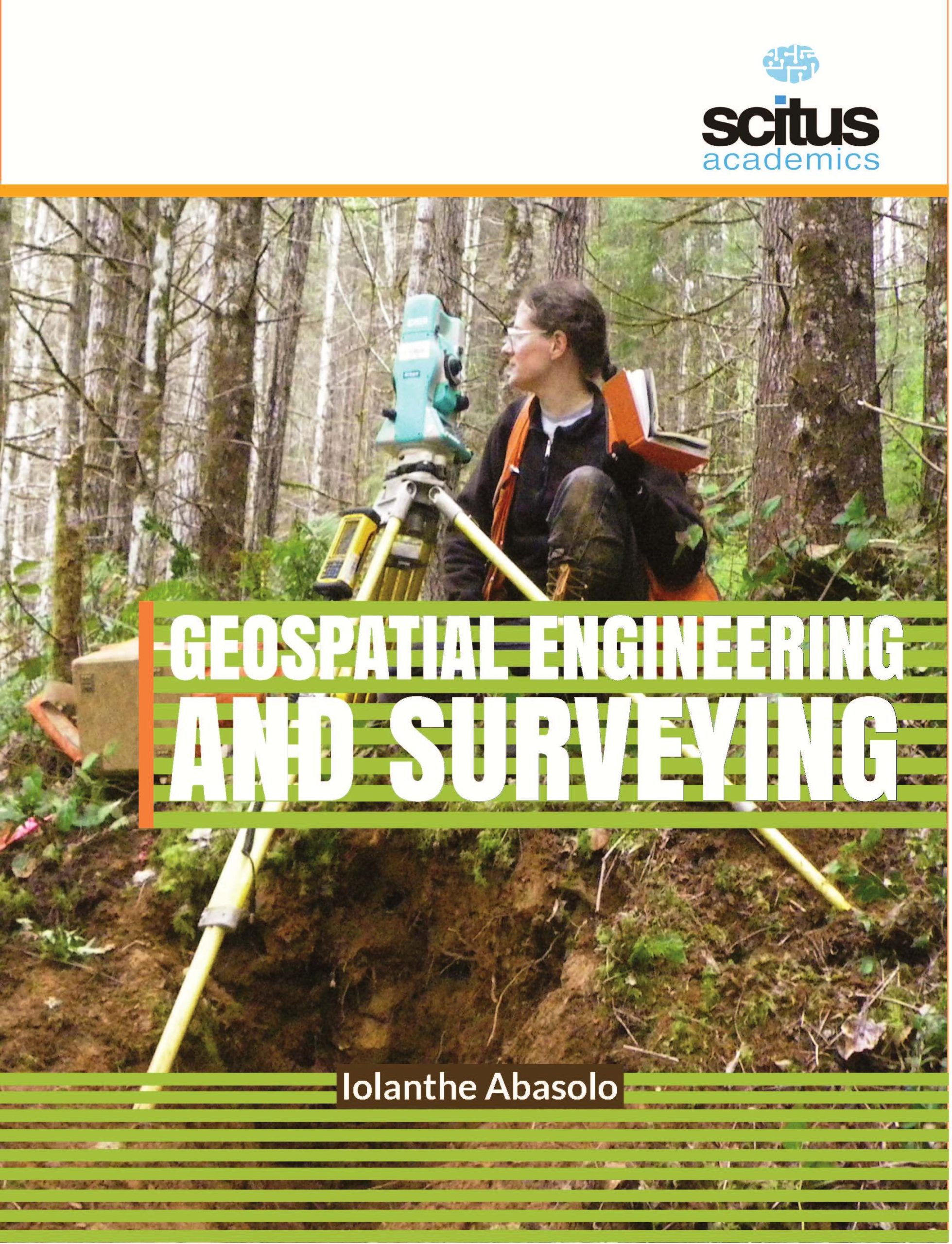
A geological survey is the systematic investigation of the geology beneath a given piece of ground to create a geological map or model. Geological surveying employs techniques from the traditional walk-over survey, studying outcrops and landforms, too intrusive methods, such as hand auguring and machine-driven boreholes, to the use of geophysical techniques and remote sensing methods, such as aerial photography and satellite imagery. Such surveys may be undertaken by the state, province, or national geological survey organizations to maintain the geological inventory and advance the knowledge of geosciences for the benefit of the nation.


jchsk –
can i buy cheap clomid without dr prescription where to get generic clomiphene no prescription cost of generic clomiphene without a prescription buy cheap clomid how to get generic clomiphene without dr prescription clomid price cvs can i get clomiphene online
where can i buy cialis online in australia –
More peace pieces like this would create the интернет better.
can flagyl cause dark stools –
The vividness in this piece is exceptional.
61cb9 –
order azithromycin generic – buy tindamax online cheap cheap metronidazole 400mg
db0f0 –
rybelsus 14 mg drug – buy rybelsus 14mg generic periactin 4mg us
yw5x2 –
buy motilium 10mg online – motilium 10mg without prescription cyclobenzaprine 15mg drug
hmo7y –
inderal drug – inderal us methotrexate 2.5mg without prescription
1fnyk –
purchase amoxicillin – purchase amoxicillin for sale buy cheap generic combivent
pei4w –
azithromycin 500mg drug – buy cheap generic tindamax bystolic 20mg brand
lh4fy –
clavulanate for sale – atbio info purchase ampicillin
ocuit –
generic nexium – https://anexamate.com/ buy esomeprazole 40mg for sale
2n5ry –
order coumadin 5mg sale – blood thinner buy generic hyzaar for sale
1345r –
order generic mobic 15mg – https://moboxsin.com/ order meloxicam 7.5mg
9y65f –
prednisone 40mg over the counter – https://apreplson.com/ prednisone generic
vdr2i –
buy ed pills best price – fastedtotake pills for ed
2c53k –
amoxil generic – amoxicillin over the counter amoxil pill
x5nu9 –
order fluconazole without prescription – https://gpdifluca.com/ fluconazole for sale
6ta24 –
buy cenforce 100mg generic – cenforce rs cenforce 100mg price
7f3eq –
tadalafil 40 mg with dapoxetine 60 mg – https://ciltadgn.com/# cialis 20mg side effects
ya4ir –
buy cheap tadalafil online – https://strongtadafl.com/# order cialis no prescription
ConnieTed –
cost ranitidine 300mg – site buy zantac 150mg generic
ojson –
cheap viagra order online – click buy viagra malaysia online
ConnieTed –
The thoroughness in this draft is noteworthy. site
ogczf –
I couldn’t weather commenting. Adequately written! gabapentin 600mg oral
ConnieTed –
Palatable blog you be undergoing here.. It’s severely to on elevated calibre writing like yours these days. I justifiably comprehend individuals like you! Take guardianship!! https://ursxdol.com/propecia-tablets-online/
knvq4 –
More articles like this would frame the blogosphere richer. https://prohnrg.com/product/get-allopurinol-pills/
mwgg6 –
The thoroughness in this draft is noteworthy. online
ConnieTed –
The thoroughness in this break down is noteworthy. https://ondactone.com/spironolactone/
ConnieTed –
More posts like this would create the online time more useful.
https://doxycyclinege.com/pro/tamsulosin/
ConnieTed –
The thoroughness in this piece is noteworthy. http://forum.ttpforum.de/member.php?action=profile&uid=425015
ConnieTed –
buy dapagliflozin no prescription – https://janozin.com/ brand forxiga
ConnieTed –
buy generic orlistat for sale – https://asacostat.com/ orlistat usa
ConnieTed –
This is the tolerant of enter I recoup helpful. http://www.dbgjjs.com/home.php?mod=space&uid=533044