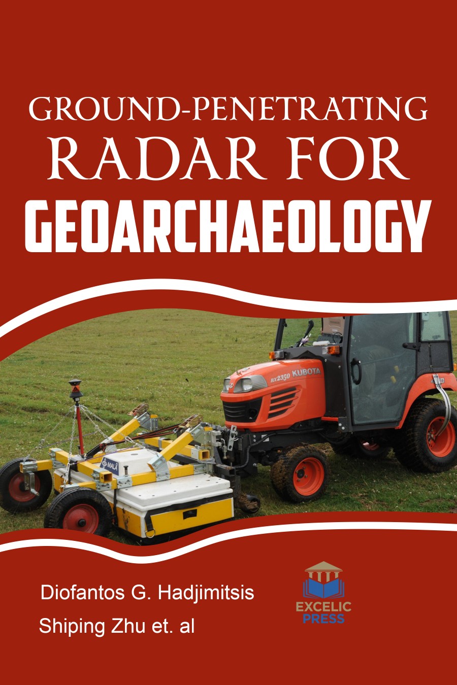
Radar techniques, developed originally for the detection of targets in the sky or on the surface of land or sea, are now being adapted as a means of investigating the composition and integrity of non-conducting materials and structures. Ground-penetrating Radar (GPR) is deliberated one of the more complex of near-surface geophysical techniques, but also one of the more accurate, because of its ability to map buried archaeological features in three-dimensions. Data from many two-dimensional reflections profiles within a tightly spaced grid can be processed to remove noise, transfer reflections to their correct subsurface location, and then enhance important reflections from subsurface interfaces of interest. Three-dimensional images can then be constructed that produce realistic isosurfaces and amplitude slice-maps of buried features. When GPR reflections are incorporated with information derived from standard archaeological methods, and corrected to depth in the ground using velocity analysis, GPR maps can be used to display a large amount of information from limited excavations to produce a great deal of knowledge from a very large area.
This book is packed with the studies that connect the gap between those fields and the geophysical technique of ground-penetrating radar (GPR), which allows for three-dimensional analysis of the ground to envisage both geological and archaeological materials. The use of GPR in archaeological exploration has advanced dramatically over the last decades. The ability to convert echoes, measured in time, to approximate depth using calibrations derived from velocity analyses was a major advancement to visualize all these hidden elements can assist archaeologists dwell ancient people within the landscapes and environments of their time, and know their burial and preservation phenomena in three-dimensions.
The book will appeal to advanced students in archaeology and geoarchaeology, as well as practitioners having an interest in GPS techniques.


