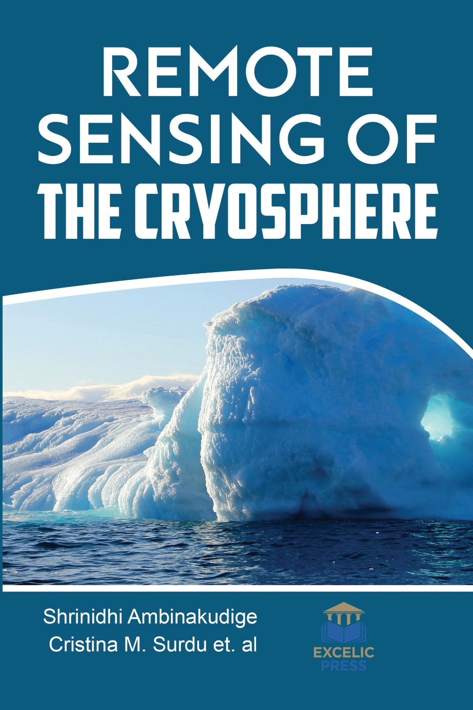
The cryosphere is the frozen water part of the Earth’s system that covers a significant portion of the Earth’s land and ocean surfaces. Seasonal snow cover reaches the widest extent of any cryospheric component, with a mean winter maximum extent encompassing about 31% of the total global land area, 98% of which occurs in the northern hemisphere. The cryosphere has a significant influence on global climate and human livelihoods. Change in spatial and temporal distribution of the cryosphere influences the water flow in the world’s major rivers. Monitoring of the cryosphere is of importance for improved understanding of global climate, hydrologic systems and sea-level change, as well as for impact assessments and Earth system modeling. Satellites provide an effective space-borne platform for remotely sensing frozen areas at the global and regional scales.
This edited book brings together the physical principles of remote sensing, standard remotely sensed image processing techniques, and a range of applied examples in the cryospheric sciences. It offers a comprehensive and authoritative overview of the methods, techniques and recent advances in applications of remote sensing of the cryosphere contributed by renowned researchers and leading experts. The chapters explore the use of remote sensing technologies in studies of the cryosphere and particularly in glaciers discussing remote sensing sensors that are effective in monitoring glaciers. Moreover, the global effort to create glacier data, using remote sensing tools to delineate glacier areas, estimate volume and mass balance is presented. It will highlight studies that have utilisedLiDAR sensors for the cryosphere research of various features, such as snow cover, polar ice sheets and their atmospheres, alpine glaciers, and permafrost shows immense promise for applications in future cryospheric research, also emphasize the prospects of utilizing LiDAR sensors.


