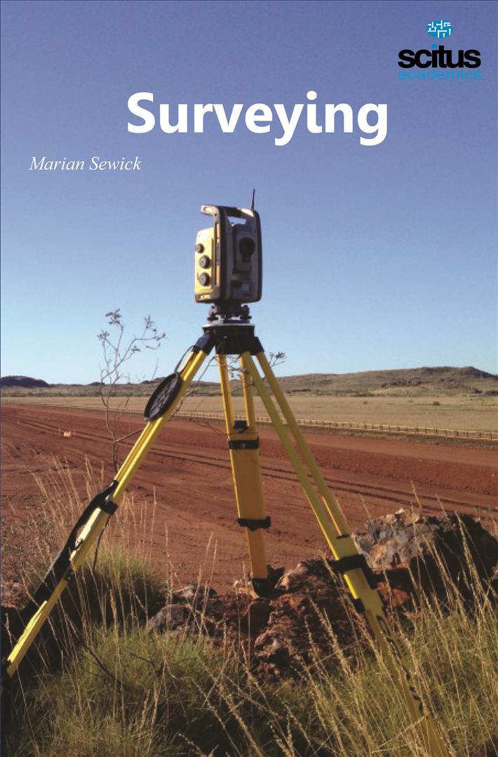
Surveying or land surveying is the technique, profession, and science of determining the terrestrial or three-dimensional position of points and the distances and angles between them. A land surveying professional is called a land surveyor.
Surveying is as old as the human civilization. The art of surveying and map drawing has been in practice since the cultural evolution of mankind. The earliest methods of surveys were made in connection with land surveying for the purpose of establishing boundaries of lands, but with the passage of time, an urge was felt to implement its application in many other avenues as well. The main development of surveying took place in the nineteenth century after the invention of telescope, magnetic compass, levelling instruments and theodolites. For the purpose of engineering projects such as roads, railways, canals, water supply, reservoirs, dams, building, bridges, flyovers, etc., extensive surveying is inevitable for proper establishment and allocation of the jobsite. The success of any engineering project is highly dependent on the accurate and complete survey work.
This book contributes to enhance the basic knowledge of the subject for the civil engineering students. The book has been prepared in such a way that it highlights every aspect of the subject—from the basic measurement technique by chains and tapes to the advanced features like application of EDM instruments, photogrammetry and remote sensing. Organised into 25 chapters this book highlights all the elements of surveying systematically. The chapters are arranged in a logical sequence in order to maintain the continuity. The theories are explained in a simple and lucid language along with the solved examples and problems.
The book explains the theories behind modem optical instruments like Electronic Distance Measurements (EDM), and Total stations, which are invented to give accurate measurements. The book shows how photogrammetric surveying is making a new headway with aircrafts, satellites and modem cameras. It also highlights the ways through which surveying is extended to the deep sea, and extra terrestrial space. Most importantly, it discusses how surveying principles have been used in remote sensing, rocket tracks, missiles and space vehicles.


